
Ardmore ZIP Code Directory Coverage
Ardmore’s verified postal-city references are 73401, 73402, and 73403. They are not neighborhood maps or a list of everyone inside city limits. USPS address verification supplies the final answer for a particular delivery point, while the state ZIP reference explains the broader Ardmore postal grouping.
The Ardmore table keeps standard delivery, PO Box use, and geography that requires a full USPS address check apart. That distinction is important before comparing an Ardmore mailing string with an assessor parcel or a Carter County map.
| ZIP code | Areas covered | Post office or delivery note | Record-use note |
|---|---|---|---|
| 73401 | Ardmore postal city and standard street-delivery area | Ardmore Post Office, address-specific confirmation required | Postal city is not a city-limit map. |
| 73402 | Ardmore PO Box or service-area reference | Ardmore postal operation | Do not infer a physical residence from the code. |
| 73403 | Ardmore PO Box or service-area reference | Ardmore postal operation | Keep it separate from a situs address. |
| 73458 | Address-by-address USPS verification only | Use the full address in USPS before classifying delivery | A Census ZCTA association is not postal-boundary evidence. |
The official Oklahoma reference lists the first three codes with Ardmore as postal city. It does not turn every Ardmore street using an Ardmore mailing label into an address inside the municipality.
Verify Ardmore Postal Delivery
USPS delivery lookup has two practical modes. Search by Address uses address, city, and state fields. Search by City and State uses the city and state fields when an exact address is not yet available. USPS directs users to use recognized city names and to prefer the full address where more than one postal designation may be possible.
Start with the Ardmore delivery question. A postal result verifies the ZIP code or ZIP+4 recognized for mail, not who owns an Ardmore parcel, who receives tax mail, or which civic boundary applies. Those are different records with different keepers.
The official USPS delivery lookup is the first source to use for a current Ardmore delivery address.
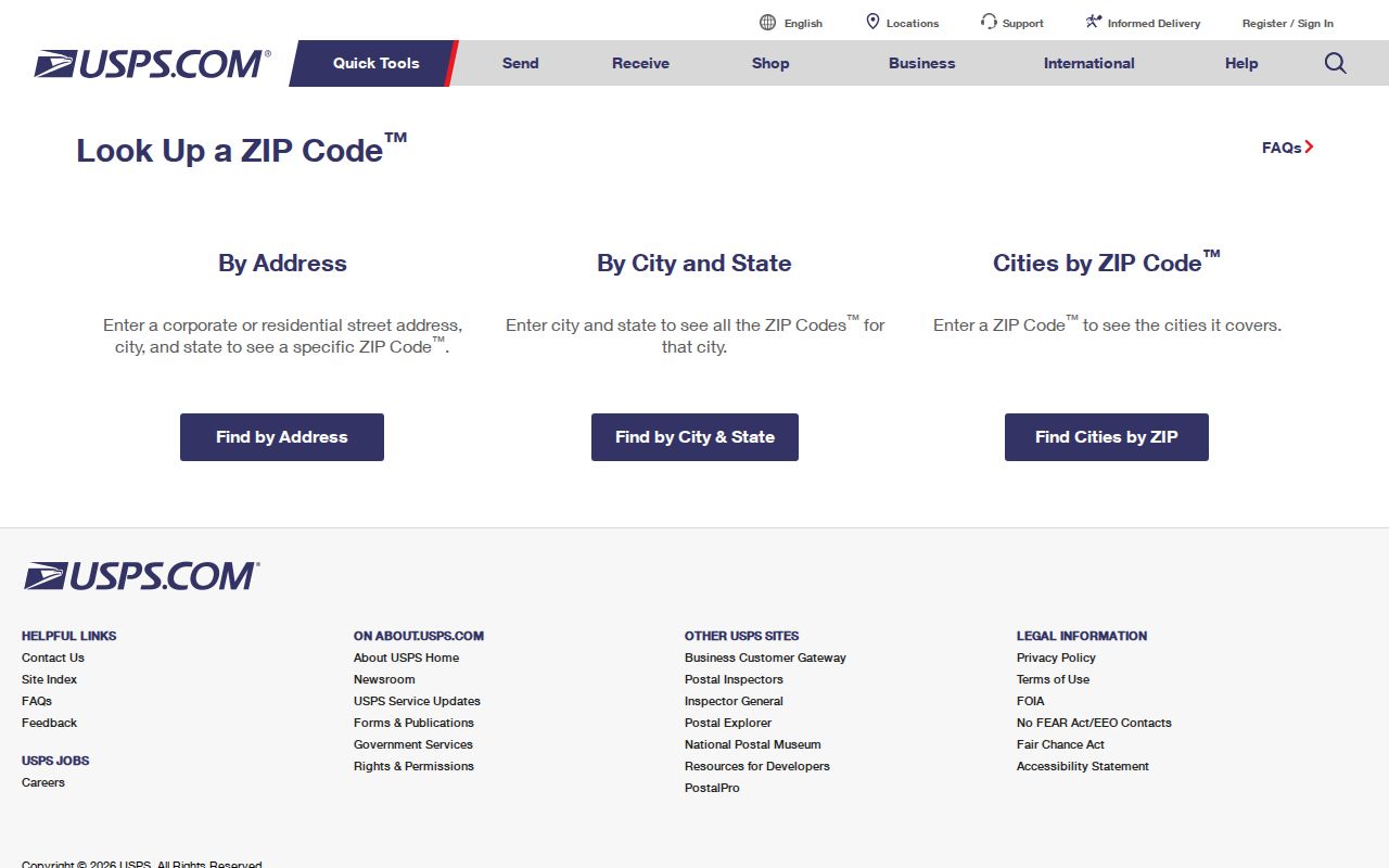
The USPS form shows why a complete Ardmore address produces a stronger delivery answer than a city-only postal-code search.
Ardmore 73401 ZIP Code Details
The official Ardmore Post Office result identifies the office at 208 1st Ave SW, Ardmore, OK 73401-9998. Its listed hours are Monday through Friday 8–5, Saturday 8–12, and Sunday closed. The result also points to nearby Lone Grove and Overbrook offices. It identifies an office location, not the outer boundary of every 73401 delivery.
Use 73401 as the primary standard Ardmore delivery code only after the address tool recognizes the particular street and number. A county road, rural parcel, or mailing address can need a different postal treatment than a location that appears nearby on a city map.
The Ardmore Post Office location result provides the official office details used here.
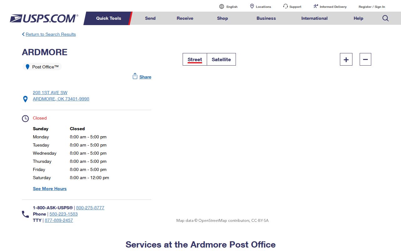
The post-office record confirms the local office and its ZIP+4, while address lookup remains the Ardmore delivery test for a particular home or business.
Ardmore PO Box Delivery
State ZIP references identify 73402 and 73403 with the Ardmore postal city, but they should not be used as physical-residence shortcuts. Research classifies them as PO Box-oriented codes. Confirm a particular box or station assignment in USPS rather than infer it from a city label.
An Ardmore PO Box is a mail receptacle. It does not identify an Ardmore parcel’s situs address, a person’s residence, or the city jurisdiction that serves property. Keep that distinction in every note, request, and property comparison.
Postal check. Use the full street address for delivery verification, and record a PO Box ZIP only as a mailing detail.
Ardmore Postal Search Fields
USPS is the one Ardmore-facing source with a verified ZIP-specific search form. Carter County’s assessor interface uses property address text, while the Treasurer, recorder, and GIS routes use their own owner, tax, legal-description, or map fields. Use those systems after an Ardmore postal verification, not as substitutes for it.
| Lookup mode | Required fields | Best use |
|---|---|---|
| USPS Search by Address | Address, city, state | Confirm a delivery designation or ZIP+4 for one Ardmore location. |
| USPS City and State | City, state | Identify postal ZIP possibilities before an exact address is known. |
| Assessor property search | Property address, owner, or parcel ID | Match an already verified location to a parcel record. |
| Recorder search | Party, book/page, instrument, or legal description | Follow Ardmore recorded land identity, not a postal delivery code. |
The Oklahoma Voter Portal is an individual registered-voter tool requiring first name, last name, and date of birth. Eligible Election Data Warehouse access has separate rules and protected-address exclusions. Neither route supplies a public ZIP-wide resident list.
Note: Preserve leading zeroes, directional street terms, and recognized city wording when moving an address between postal and county systems.
Find Ardmore Records by ZIP
An Ardmore ZIP narrows delivery geography, but it does not replace the street, parcel, or legal description that local record systems rely on. Once USPS confirms the code, use the address itself to search an Ardmore or Carter County parcel, map location, recorded instrument, or historic directory. This sequence avoids implying that local portals contain a ZIP-wide people search.
- Enter the complete Ardmore address in USPS and save the recognized postal city, delivery code, and ZIP+4 if returned.
- Use the same physical address in the assessor property search to identify the parcel, subdivision, tax fields, and current property record.
- Open the Ardmore or Carter GIS mapping route to compare the situs location, city-service context, and parcel geometry.
- For a land question, search the recorder using the legal description, addition, block, lot, or parties rather than assuming the ZIP is indexed.
- For historical Ardmore research, use the address and year with Polk street material, newspapers, or Library collections.
When a confirmed ZIP narrows the search to one road, the address-record chain is handled in the Ardmore street directory.
Ardmore Postal Address Types
Several Ardmore address fields can describe one location. They should not be merged when a property or resident question is being checked. The assessor’s Control Map, Group, and Parcel identify a tax record. The recorder uses a legal description, while USPS uses the postal delivery address. Each can be right within its own system.
- Postal code and ZIP+4
- A postal code identifies delivery geography; ZIP+4 adds a more precise delivery segment.
- PO Box ZIP
- A code associated with mail service or boxes, not proof of a physical property location.
- Unique ZIP
- A code used for a specific delivery arrangement; no Ardmore example is asserted here without address verification.
- Carrier route
- A postal delivery grouping. It is not a municipal district, parcel boundary, or resident directory.
- Legal description
- The land identity in deeds and plats, such as addition, block, lot, or section-based wording.
The verified 1904–1960 Polk city-directory run can add a dated Ardmore household clue, but it must not be treated as the current postal address of a property. Postal delivery and historic directory entries answer different questions.
Ardmore Postal City Limits
A postal-delivery boundary and the Ardmore city limit can overlap without matching. A parcel outside the municipal boundary may use Ardmore as its postal city. A parcel inside a city limit can have a PO Box mailing address or an alternate recognized postal city. A ZIP tabulation area can also cross city or county lines.
Verify Ardmore city limits through GIS and property identity through the assessor or recorder. USPS remains the Ardmore delivery source. This three-part check is especially useful where county roads, quadrant street names, and postal-city wording all appear in the same address trail.
For a physical-location question, begin with the recognized postal address, then compare the Ardmore GIS or Carter County mapping view with the assessor’s situs address. For a land-transfer question, preserve the recorder’s legal description because a deed can use addition, block, lot, or section-based wording instead of a postal street. A mailing address belongs in a separate field. This sequence avoids treating a delivery designation as proof of municipal service, ownership, voter jurisdiction, or a person’s current location.
Ardmore’s position as the Carter County seat makes county and city references common in the same research trail. They are still separate geographies. The city street index and full map establish street orientation, while E911 address standards provide the bridge between postal wording, legacy street terms, county context, and the primary street name.
Boundary limit. Postal geography is not proof of residence, ownership, voter jurisdiction, or municipal service responsibility.
Note: An Ardmore postal city label is useful for delivery research, but it does not settle the parcel’s city-limit or county jurisdiction.
Ardmore NG911 ZIP Geography
Oklahoma NG911 address standards distinguish city, county, neighborhood or community, ZIP or postal community, left and right address ranges, parity, primary street, legacy street names, and effective or expiration dates. These fields explain how a physical location can carry several valid place labels without those labels meaning the same thing.
For Ardmore, the practical order is postal verification first, then city and county GIS for physical orientation, then assessor and recorder sources for property identity. The standards help preserve older or legacy street wording when it appears in a deed, map, or directory entry.
The Oklahoma NG911 standards page provides the address-field framework used for this geography check.
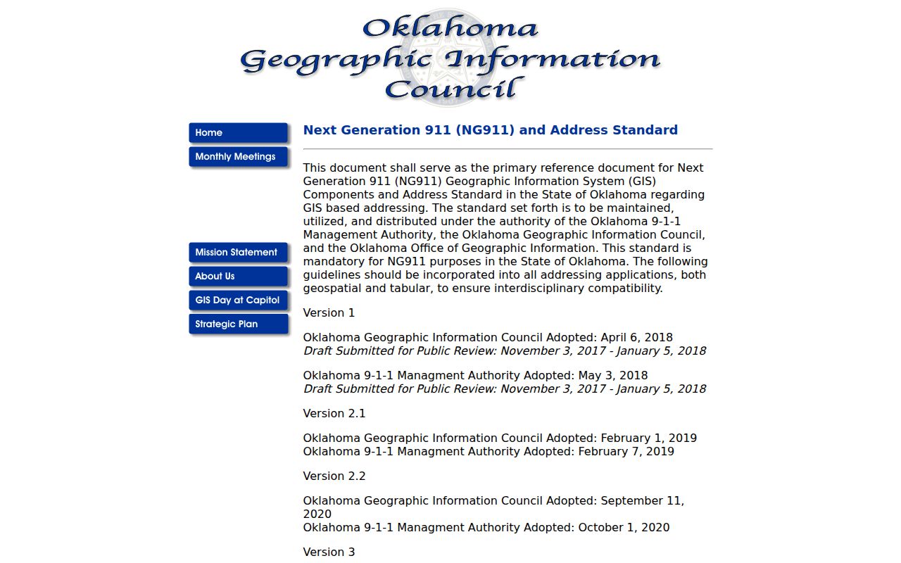
The standards view supports careful address normalization before records from different Ardmore and Carter County systems are compared.
Note: Use the precise address and source date when checking postal, city, county, parcel, and legal-description wording.