
What Ardmore Neighbors Records Show
Records around an Ardmore block answer different questions. An Ardmore map can show where one parcel touches another. An assessor record can identify the current owner associated with a parcel. A recorded instrument can document an ownership interest, while an Ardmore city board page can identify a public participant. None of those sources makes an official household roster. The useful result is a small, source-labeled Ardmore research list rather than an assumption about who lives, votes, or belongs to a group.
| Ardmore source | Block-level signal | Access and limit |
|---|---|---|
| Ardmore GIS mapping | Parcel geometry, address or parcel selection, and available basemap, zoning, plat, utility, and community-development layers | The landing page lists viewers; exact parcel-card and adjacent-parcel fields were not captured in automated review. |
| Carter County Assessor | Current owner, property address, control map, group, parcel, subdivision, class, and sale date | Current tax identity is not evidence that every owner occupies the parcel. |
| Carter County Clerk | Party names, instrument metadata, book or page, and legal description | Use it for an ownership or instrument question, not to identify a block's residents. |
| Oklahoma Voter Portal and EDW | Current individual voter lookup, or eligible-requester election data | The public portal does not provide a block-wide roster; restricted and ACP addresses are omitted. |
| City boards, Main Street, and Chamber material | Public civic roles, meeting context, and organization contacts | These are not neighborhood membership lists or proof of an Ardmore address. |
The first check is to distinguish a situs address from a mailing address and an owner from an occupant. A deed's legal description may not use a postal street at all. The assessor's property address, a GIS boundary, and a directory residence are separate claims. Keeping them separate makes an Ardmore block result more accurate and less intrusive.
Map Ardmore Blocks Parcel by Parcel
A lawful Ardmore block method begins with the selected parcel and moves outward only to parcels that share a boundary. The research did not capture the exact live neighbor-card fields or a selected-parcel screenshot, so treat the Ardmore viewer as a map and verification tool rather than a complete resident database. Record the parcel relationship first, then inspect each Ardmore record independently.
- Enter the exact Ardmore address, including its directional suffix, in the city mapping route or use the official street index and map grid to orient the block.
- Select the target parcel and note its boundary, situs address, subdivision, lot or block, and parcel identifier where the viewer displays them.
- List only the parcels that are geometrically adjacent. Open each associated assessor or GIS record one at a time and preserve the source date.
- For an ownership question, compare the parcel with the Carter County Clerk's instrument data and legal description. For a historic occupant, use dated directory or newspaper material rather than calling an owner a resident.
- Stop when the next question becomes a whole-street question. The Ardmore street directory has the fuller street-by-street record chain.
That flow is address → parcel boundary → adjacent parcel IDs → independent property or deed review. It does not create an inference about friendships, shared ownership, school attendance, or social ties among people around an Ardmore block.
Read Ardmore GIS Layers by Boundary
The Ardmore GIS landing page lists ArdGIS DataViewer, Full Basemap DataViewer, Zoning Search, Plat Index/Search, Operation Pride, Downtown Depot District, Utility DataViewer, Community Development DataViewer, Cityworks Dashboard, Condemned Properties, and EOC. Those layers support a different kind of Ardmore block research: they help explain the parcel's mapped setting, plat reference, zoning, or municipal service context.
Ardmore city, county, postal, and parcel geography overlap without being the same boundary. An Ardmore street can have a Carter County parcel, a city service area, an Ardmore postal name, and a ZIP code that all describe different things. The Oklahoma NG911 standard also distinguishes city, county, community, ZIP or postal community, address ranges, and legacy street fields. Read the boundary before turning a map point into a claim about an Ardmore block.
Note: A visible map layer is not a public ownership or occupant register, and utility customer information was not located as a public name search.
Separate Ardmore Owners from Neighbors
An adjacent Ardmore parcel may identify an owner, but an Ardmore owner is not automatically an Ardmore neighbor. The assessor's current roll can include owner, property address, parcel, subdivision, class, and sale-date information. An Ardmore tax mailing address can belong to an absentee owner. A recorded grantee can have an ownership interest without living at the situs address. A directory-listed occupant can be a relative, business, former owner, or another listed person.
Use the ACT DataScout Carter search for the owner, property address, subdivision, or parcel query that fits the parcel. Its observed advanced screen also includes classification, sale-date range, control map, group, parcel, and sort options. The direct live page returned a 403 during automated inspection, so do not assume a result supplies a deed image, mailing address, building sketch, valuation history, or full tax history unless the selected record shows it.
For a deed trail, the Clerk's advanced form includes party name, party type, book, page, series, instrument number, instrument type, recording dates, and legal-description fields such as addition, block, and lot. Follow a legal description or prior instrument reference only when the question is ownership. It is not a substitute for a current household list.
Note: An Ardmore owner, tax mailing address, and listed occupant are separate claims that need separate source dates and records.
Limit Ardmore Voter Checks to Lawful Use
The Oklahoma Voter Portal requires first name, last name, and date of birth for registered-voter information. Date of birth is a matching credential, not a public field for browsing. For historical or bulk Ardmore questions, the Election Data Warehouse has eligibility, request-form, account, and use rules. It can include voter, precinct, polling-place, and related records for eligible requesters, but it is not a public Ardmore block roster.
Restricted Records and Address Confidentiality Program participants are omitted from public voter lists. The state describes protection for qualifying officials, justice personnel, certain law-enforcement and correctional staff, election personnel, qualifying protection-order victims, and ACP participants. Only election board or legal authorities may view protected records in the circumstances described by the program. Do not fill a missing address from another source.
Carter County Election Board is the local routing point for a question that needs official election-board confirmation. Public voter material should be handled as current civic information, not as evidence that every person around an Ardmore parcel is a neighbor.
Use Ardmore Civic Entries as Context
Ardmore research found Ardmore civic and community sources, not a verified public HOA or neighborhood-association directory. The following sources can identify a public role, meeting category, or organization contact. They cannot establish residential membership, draw an Ardmore neighborhood boundary, or prove an Ardmore address. That stated gap is important, since a missing public roster is not permission to infer one.
| Confirmed Ardmore entry point | Public context available | Membership boundary |
|---|---|---|
| City boards and commissions | Planning, Historic Preservation, Main Street, Cemetery, Public Works, and other public bodies | Official civic rosters and meetings are not neighborhood membership. |
| Ardmore Main Street Authority | Depot District civic and business-history context | It is an umbrella organization, not a residential block directory. |
| Ardmore Chamber directory | Member and contact listings for local family, community, and civic organizations | It is a Chamber directory, not a map of associations or households. |
| APD Neighborhood Watch form | Location, suspect, vehicle, and narrative fields for a crime or tip complaint | It is an incident form, not a member directory. |
| HOA and neighborhood associations | No official Ardmore member directory or complete association map was found | Do not claim an HOA roster or infer affiliation. |
The Ardmore boards and commissions page is shown here as a civic-routing resource. A board role belongs to the public record of that body, not to a residential profile.
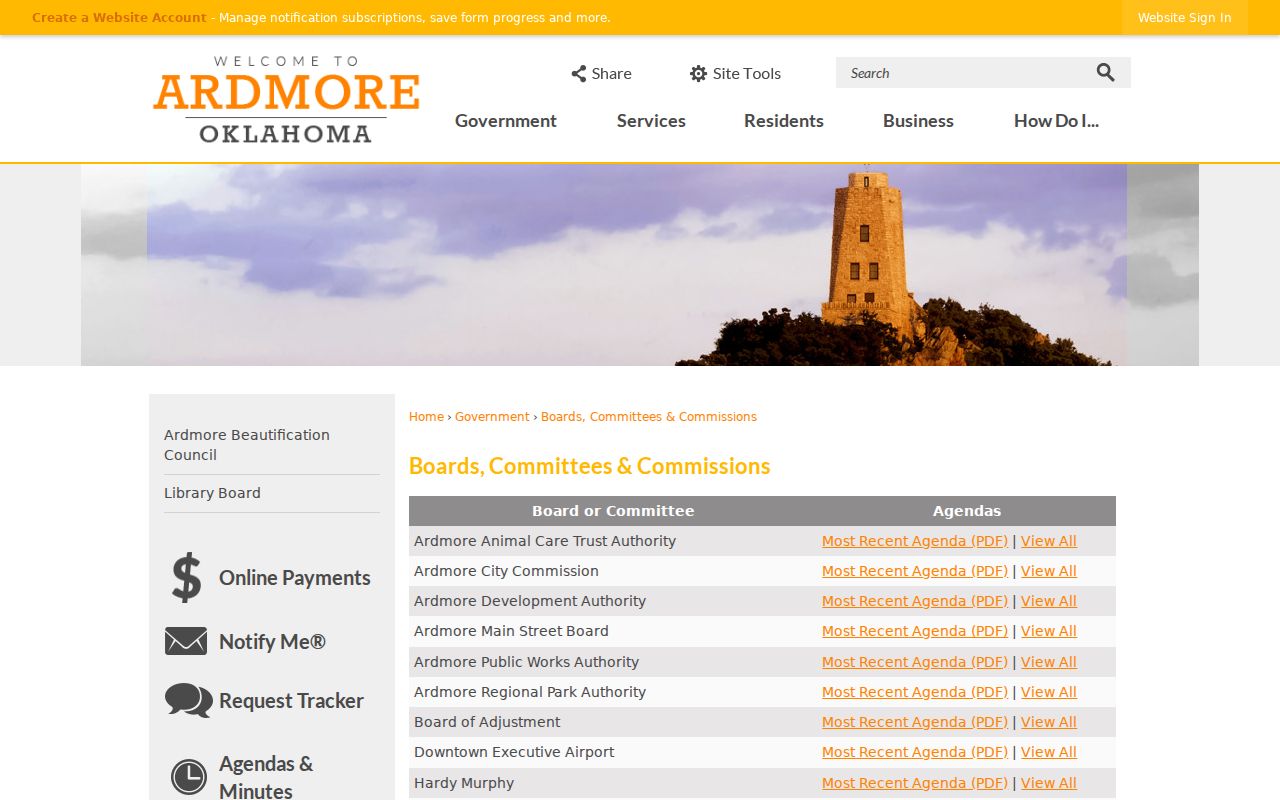
Use the public board source to preserve the meeting date and role. Leave membership and residence questions to the records that specifically support them.
Place Ardmore Neighbors in Civic Context
Ardmore Main Street describes itself as an Ardmore Depot District nonprofit and city trust formed in 1989. Its public material reports volunteer, business, and investment measures. Those facts help explain an Ardmore civic district's activity, but they do not identify who lives on an Ardmore block. The useful connection is context for public projects, trustees, meetings, and neighborhood-era history.
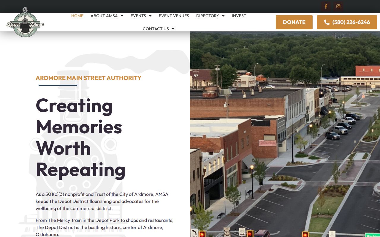
The Ardmore Main Street home page is shown below. It is a community source rather than a household directory.
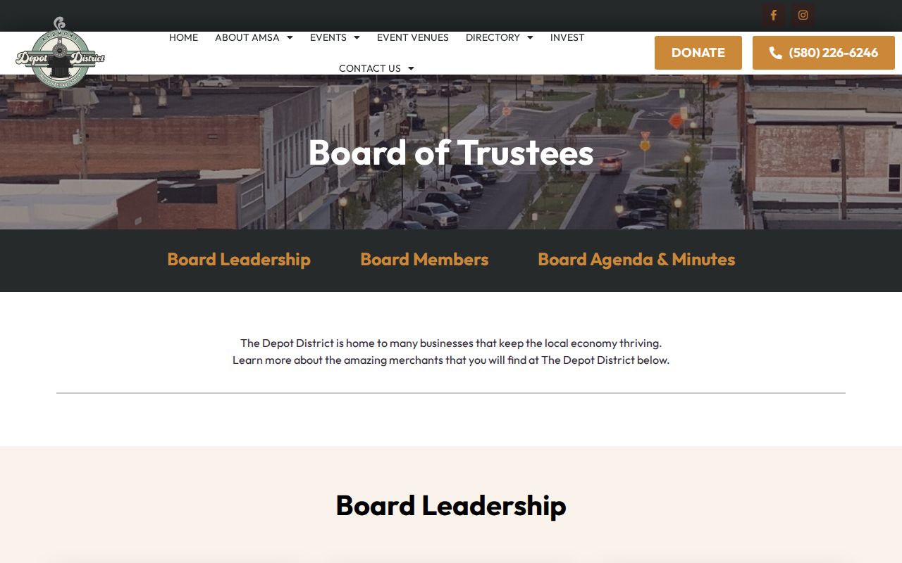
The Main Street Board of Trustees page adds named public trustees and meeting context. A trustee listing shows a public civic role, not a home address or block membership.
Ardmore's Agenda Center can also identify public applicants, planning topics, historic-preservation activity, and meeting categories. Record the date and public role rather than using a meeting reference to make a personal-residence claim.
Compare Ardmore Neighbor Sources Carefully
Official and commercial neighbor tools serve different purposes. A commercial people-search category may combine public and purchased data, but its record may be old, incomplete, costly, or unclear about its source date. Official Ardmore and Carter County sources are narrower. They identify a specific Ardmore parcel, instrument, voter process, or public civic record and make their access limits easier to see.
| Official Ardmore route | Commercial neighbor category | Best way to treat a result |
|---|---|---|
| GIS, assessor, clerk, election, or city source | Compiled profiles from mixed sources | Use the official record for the question it actually answers and record its date. |
| Custodian can explain record scope or a request path | Scope and update process may be unclear | Confirm a material detail with the custodian instead of treating a profile as proof. |
| Protected and restricted records have stated limits | Old or duplicate data can reappear | Do not republish sensitive details or try to rebuild protected information. |
The Ardmore Agenda Center image shows a public-meeting route. It can point to a dated agenda or public process, not to a neighborhood directory.
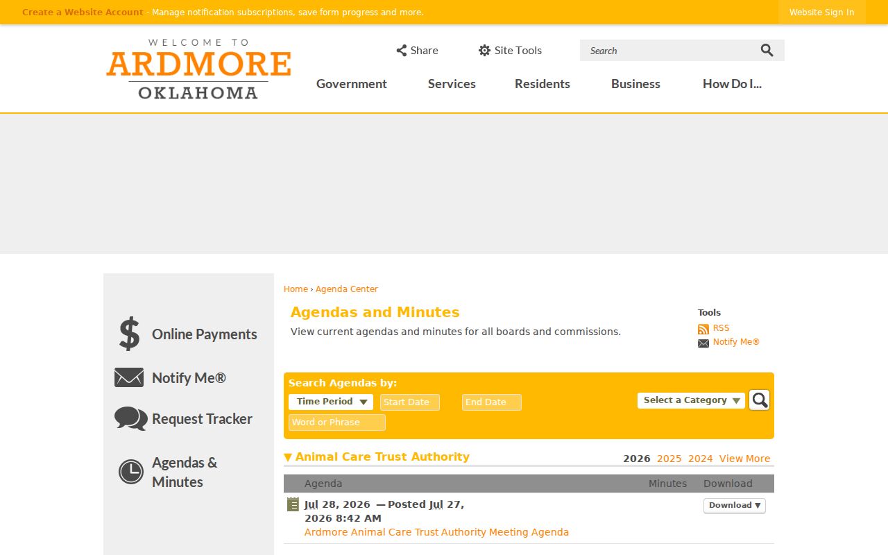
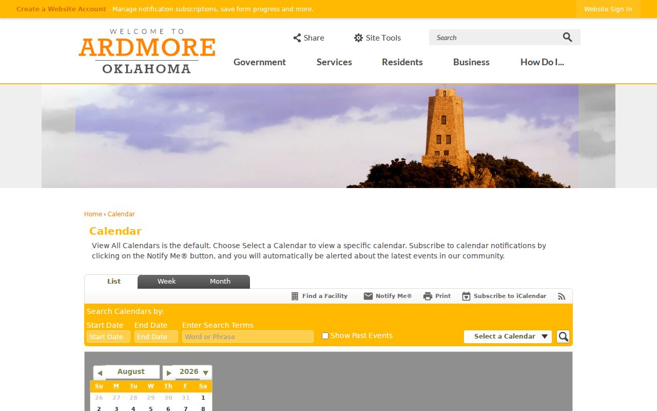
The Ardmore public meetings calendar carries the same boundary. It helps locate public meeting context, while a calendar entry does not confirm who lives near the meeting topic.
Note: Keep a public role, a parcel relationship, and an occupant claim in separate notes even when the same Ardmore name appears in each source.
Respect Privacy Limits for Ardmore Neighbors
Ardmore public access is bounded by specific confidentiality laws. The Address Confidentiality Program provides eligible participants with a substitute address and mail forwarding through an approved victim-assistance program. Election Restricted Records can shield qualifying voter information. Utility customer names were not located as a public search, and the Ardmore library's patron-use records are confidential. A missing or protected Ardmore record should stay missing.
Do not use an Ardmore block search to infer a person's current residence, a protected voter location, a social tie, or a household relationship. Do not collect full dates of birth, private library history, or other unnecessary identifiers. The Oklahoma Open Records Act can support a focused request to the proper custodian, but it does not replace the rules for confidential information.
Lawful use. Ardmore block research is for a personal, lawful question about a parcel area or public civic context. Do not use parcel, address, or identity information to watch, stalk, harass, threaten, or intimidate anyone.